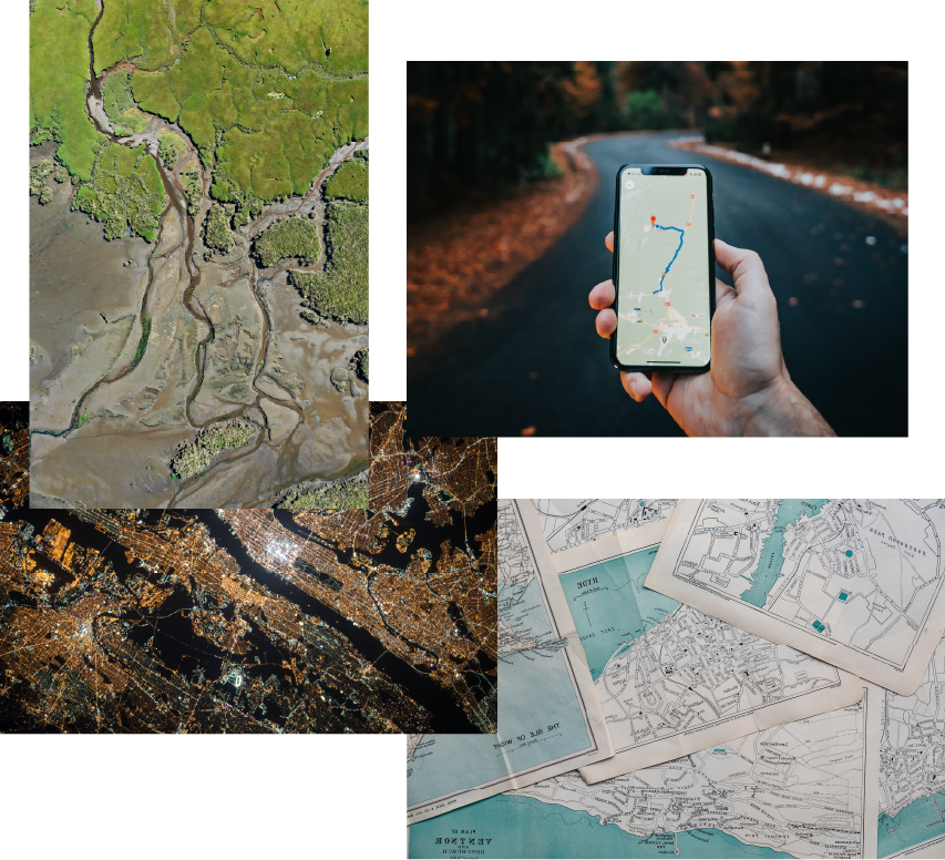
Geography.Inpractice.
Parallel is a Geographic consultancy. We specialize in the technology, design and analysis that underpin the Geographer's interest in understanding how the world works. We are committed to helping improve the systems that help society thrive.
About
Parallel is a Geographic consultancy.
Parallel Geographic specializes in leveraging the technology, design and analysis that enable the practice of Geography. We're in the business of helping others understand better how the world works. We are committed to helping improve the systems that help society thrive.
Parallel's services are scale and industry agnostic. We bring the tools and expertise of modern Geography to the problems that our clients have. We provide a spectrum of solutions, from comprehensive GIS implementation to tailored survey designs, analytical reporting, program monitoring, stakeholder engagement, and custom application development.
The discipline of Geography encompasses the processes and frameworks for understanding how to measure the physical, social and cultural contexts of our world. Highly multidisciplinary in nature, we develop, use and share the most modern technical tools that are available. We push the limits of what can be done with technology and help build some of those tools ourselves.
Let us help you ask the right questions for your context. Let us show you how new insights to your questions will make solving real problems easier and more effective.
Let us help you make the Map, so we can all understand the Territory.
Services
Parallel are experts in modern Geographic practice. We've developed a wide range of skills in pursuit of that distinction.
Technical Solutions
Modern Geographic technology starts with Geographic Information Systems (GIS) – but what makes Parallel good at implementing GIS solutions has made us experts in a broader array of technical tools.
- •Custom Application Development
- •Data Lifecycle Design
- •Digital Mapping
- •Open and Closed Source Solutions
Research and Analytics
At Parallel we are experts in understanding, organizing, and communicating data in a way that brings sensemaking to stakeholders.
- •Program Monitoring and Evaluation
- •Survey Design and Implementation
- •Statistical Analysis
- •Reporting
Design, Planning and Placemaking
Parallel works with clients in planning and development where social, economic and environmental needs are relevant - what makes Parallel unique is our commitment to understanding place.
- •Census and Demographic Analysis
- •Community Engagement
- •Walkability and Transport Modeling
- •Community Master Planning
Cartography and Communication
Creating compelling visual narratives through maps and geographic visualization to communicate complex spatial information effectively.
- •Digital Mapping
- •Interactive Mapping
- •Data Visualization
- •Community Engagement
Contact
Ready to explore how geographic insights can transform your project? Let's start a conversation about your spatial data needs.